Amateur Photographer
LAKE WANAKA
The schist rocks which dominate the geology of the Central Otago and Upper Clutha areas were deposited around 130-250 million years ago. The gold which defined much of the early European history of the area was deposited from hot water solutions in similar conditions over the last 140 million years.
Geological changes have also had a significant influence on waterways in the region, much of the present Upper Clutha catchment once flowed south to the Kawarau via the Cardrona and Motatapu valley, before uplift in and near the Crown range cut off this flow path.
The town of Wānaka is situated at the southern end of Lake Wānaka on one of the till dams and surrounded by mountains. To the southwest is the Crown Range and town of Queenstown; to the north the Haast Pass cuts through the Southern Alps near Makarora. Very close to Lake Wānaka is Lake Hāwea, in a parallel glacial valley, which has a recently developed settlement of about 1,500 people.
To the south and north of the town lies more of the Southern Alps and the Matukituki and Makarora River valleys which gives access to the Mount Aspiring National Park, part of Te Wahipounamu World Heritage Area. This is a mixture of native bush and alpine landscapes, with some glaciers. The catchment boundaries in this area are defined by large peaks, most notably Mt Aspiring/Tititea (3,033 m).
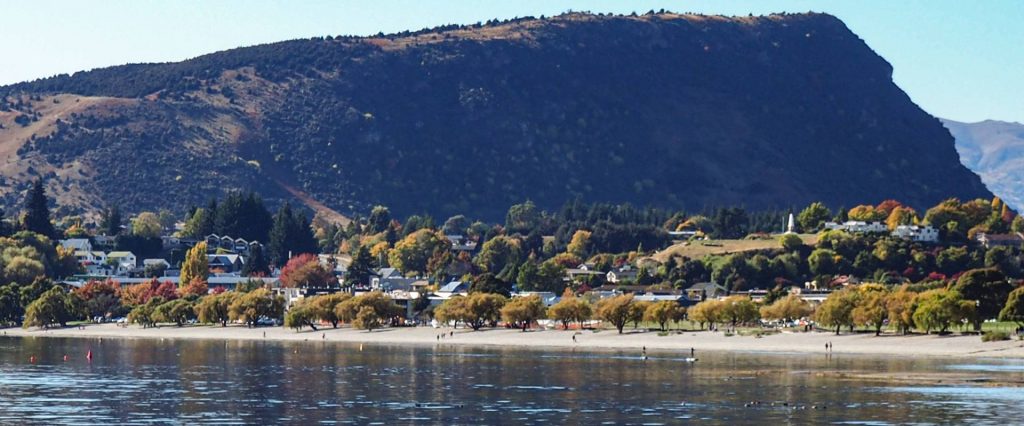
View across to Wanaka township from the Lake Wanaka waterfront walk.
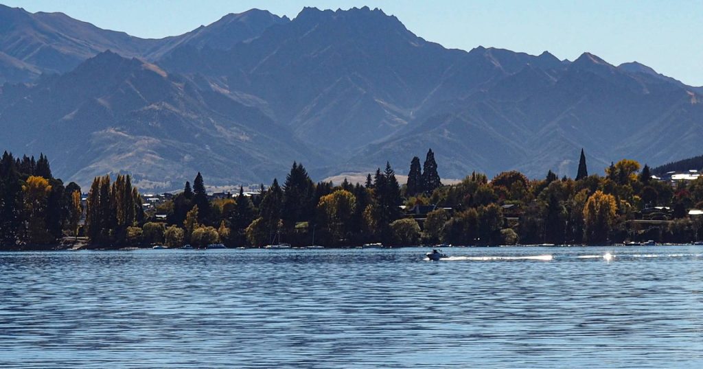
Mountain range stretch across the Wanaka peninsula of the far side of the lake giving scenic views.
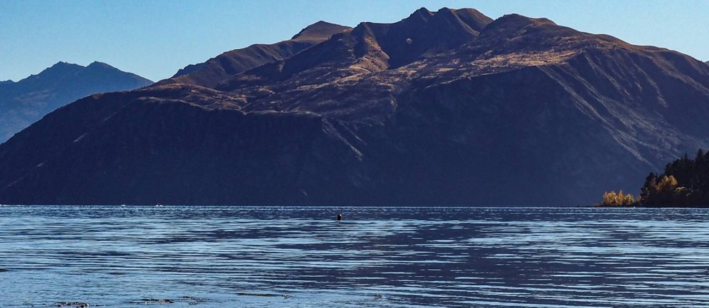
Further mountains surround the lake on all sides gives it a rugged look.
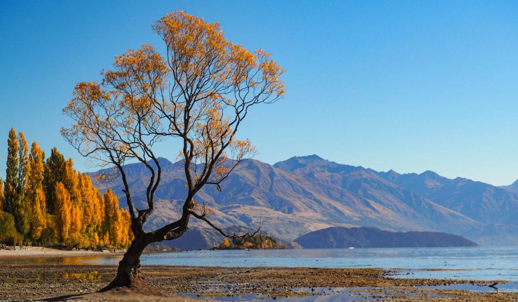
The most popular photo spot on Lake Wanaka is called one tree and is over 70 years old situated out on the edge of the lake.
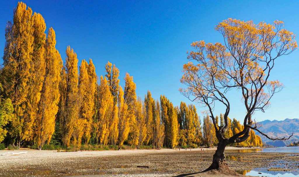
One Tree with a backdrop of beautiful and islands on the lake.