Amateur Photographer
RAKAIA RIVER GORGE BRIDGE WALK
The walkway passes through several forest and shrub communities before climbing the gorse-lined historic ferryman’s track. Continue along one of several glacial and river-carved terraces to a good lookout point (about 45 minutes)
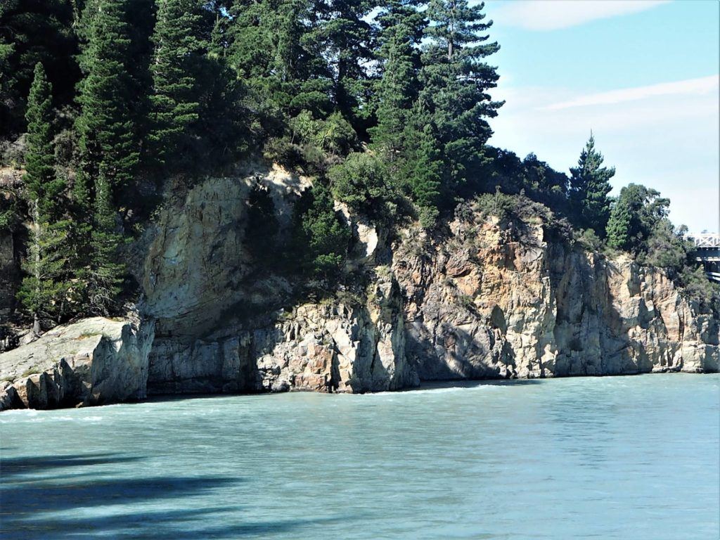
The walkway follows the rim of the gorge through spectacular geological areas, showing lava flows of rhyolite, pitchstone and andesite.
It then descends into a gully under a canopy of mountain forest and shrub, to the site of the Snowdon coal mines.
The entrances to several coal mine tunnels can be seen here, and the remains of equipment used for extraction.
The track then climbs out of the creek to a sign-posted junction. The walkway forms a loop from this point, with the right-hand track climbing across tussock-covered terraces directly to the lookout point. The track then passes through the bush to loop back to the junction. A side track off the loop descends to the river (boat landing track 121m).
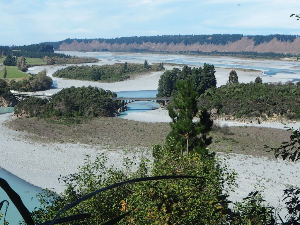
Rakaia Gorge Bridge
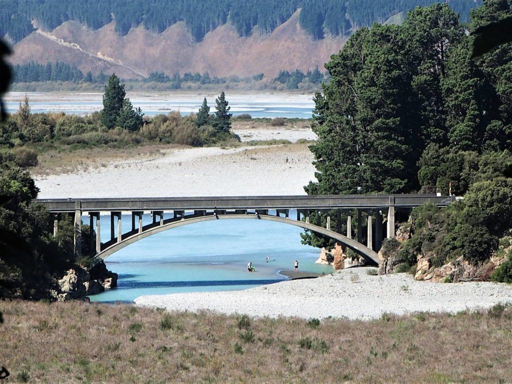
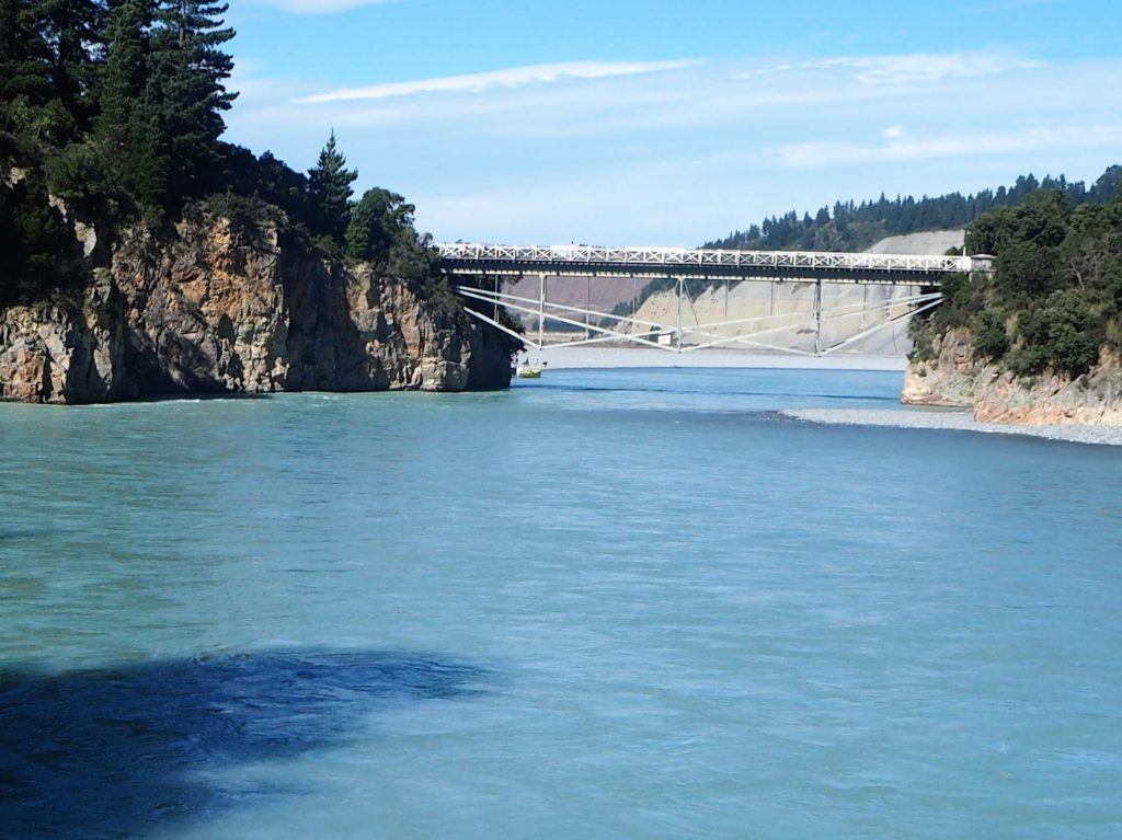
View down to Rakaia Gorge Bridge and distant gorge slopes.
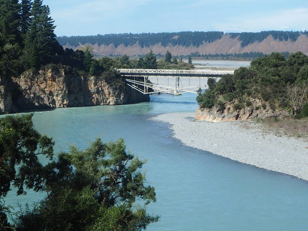
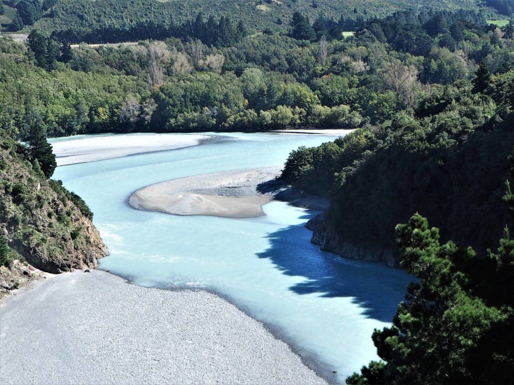
View from lookout point to mountains and river in foreground
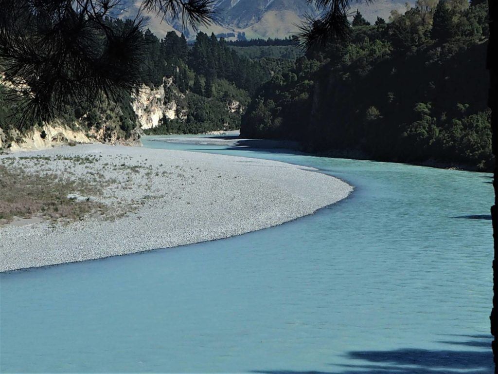
Rakaia River and rugged rock corners.